
High Stones, Howden Edge
Height 550metres
Grid Reference SK 188 944
Area
County Top - Metropolitan County of South Yorkshire & Quasi Unitary Authority of Sheffield
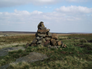
High Stones summit trig.
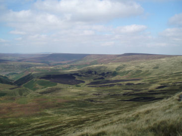
Looking across Upper Hey to Howden Edge from High Stones.
King's Tree - Slippery Stones - Margery Hill (CT) - Wilfrey Edge - High Stones (CT) - Featherbed Moss - Round Hill - Cartledge Stones Ridge - Back Tor (TP) - Lost Lad - Fairholmes
All pictures copyright © Peak Walker 2006-2021